Subir lugar
Acceder
Lugares
›
América del Sur
›
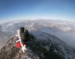
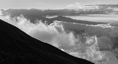
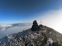
Ecuador
Provincia del Tungurahua
Fotos provistas por
Flickr
bajo el copyright de sus propietarios
1
2
3
Cerrar